Plot Results
Plots are organized into a Grouped Plots category and an All"category. The All category provides access to individual plots, while the Grouped Plots category contains 3 manufacturer plot groups and any custom created plot groups. The manufacturer plot groups include groups of commonly accessed plots for GNSS-only processing, GNSS+INS TC processing, and GNSS+INS LC processing. When accessing a grouped plot, all plots within the group are plotted and opened with the Map Window within your default web browser.
Many plots support different units. For example, you can plot the Combined Separation, which shows the difference between forward and reverse solutions in meters or feet. The Distance Separation, or baseline distance, can be plotted in units of kilometers, miles or meters. In order to change units on a plot, first select the plot from the list and then access the Y axis tab. This tab has a units pull down list which shows supported units for the selected plot. After changing units, your preference is remembered for all projects.
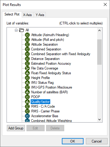
Individual plots can be viewed by double clicking a plot in the list, or by selecting the OK button after selecting a plot. Up to two plots can be selected simultaneously by using the Ctrl key in combination with a left mouse click prior to selecting the OK button. Further, if a group of plots has been created using the Add Group button, all plots within the group are plotted simultaneously.