Types of Networks
Closed Loop Network
Surveyors often use this style of network because of increased reliability. Due to the closing of the loops, any baseline determination errors will show up as tie point errors. Such closure values can be seen via Process | View Traverse Solution. If just two GNSS receivers are employed, then a method called “leap-frogging” can be used to collect the data. In this procedure, starting from a known point, the lead receiver is placed on the first point to be surveyed. After the first session is complete, the trailing receiver is moved ahead of the lead receiver so that it now becomes the lead. The next baseline is observed and this procedure is repeated until small (4-6) loops are closed.
Closed Loop Network
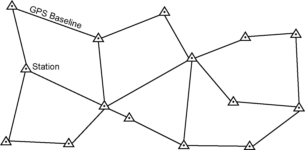
Antenna height measurement errors will often cancel with this method and should therefore be double-checked. Methods involving more than two receivers become quite complex, and are past the scope of this section.
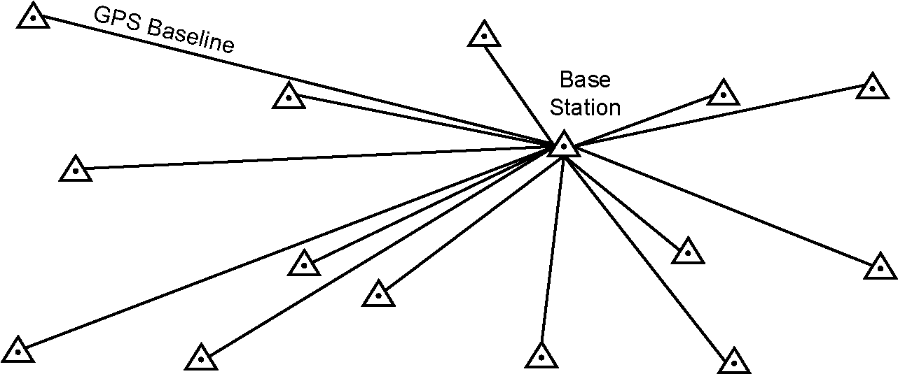
Radial Network
Also referred to as Single Base Station. Applications where productivity is more important, like GIS, do not need the same degree of reliability as the closed loop network. For these situations, use open loop networks. An example of this a network is shown below. For this method, one receiver is left stationary over a reference or control point. One of more remote GPS receivers are moved from point to point being surveyed.
Radial Network